MAPPEM Geophysics System / Package
MAPPEM
Towed marine electrical resistivity imaging system for subsurface geology imaging and buried-object detection, towed near the seabed at 3-4 knots.
Description
MAPPEM is a towed marine electrical resistivity imaging system for imaging subsurface geology and detecting buried objects. It is towed near the seafloor at about 3-4 knots; data reaches the crew in real time and is inverted into a true resistivity model of the subsoil with the FastInv algorithm. MAPPEM Geophysics says it is the only fully marine resistivity system on the market.
Key features
- Main tow fish (1.5 m long, 20 cm diameter) holding acquisition and control electronics
- Secondary tow fish with a current injection electrode: about 40 A (up to 100 A) every 0.5 second
- Receiving cable with 20 high-precision electrodes spaced 1 to 5 m; set-up length up to 120 m
- Depth of investigation between 10 and 40 m; accuracy of a few µV
- Deployable by two people from a small survey boat
- Images all geologies, including very hard rock and gas-bearing sediments
Applications
Geohazard and site investigation for MRE sites, cable routes, dredging and maritime infrastructure, plus buried object detection.
Specifications
| Tow speed | about 3-4 knots |
|---|---|
| Current injection | every 0.5 second |
| Current | about 40 A (up to 100A) |
| Receiving cable | 20 high-precision electrodes |
| Towfish dimensions | 1.5 m long, 20 cm in diameter |
| Set-up length | up to 120 m |
| Electrode spacing | between 1 and 5 m |
| Depth of investigation | between 10 and 40 m |
| Accuracy | a few µV |
More from MAPPEM Geophysics
Featured products
All products →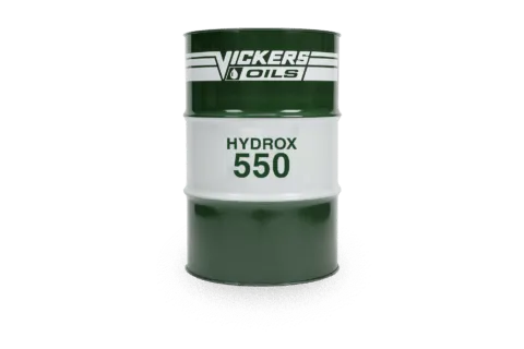
Consumable
HYDROX 550
Emulsifiable mineral sterntube oil (ISO 68) for regular running and some stabilisers; Class tested, verified by Lloyd's Register, approved by major seal makers.
Equipment
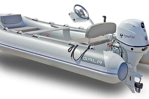
GALA Inflatables & Aquahelm Console
GALA aluminum RIBs and the Aquahelm lightweight console kit that converts 10'–13' GALA dinghies to remote steering.
Component
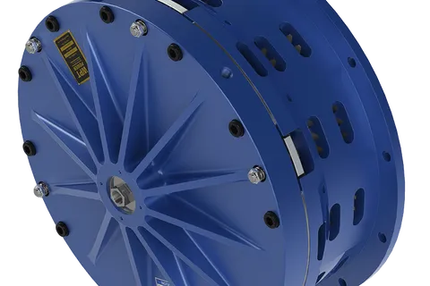
Low Inertia High Torque Clutch
Pneumatic low inertia high torque (LIHT) clutch with pancake-style airtube for the highest torque-to-size ratio in the WPT range; suited to marine winches, steel shears and metal forming.