MAPPEM Geophysics Inspection, Survey & Testing
Marine Electrical Resistivity Tomography
Resistivity imaging surveys of the marine subsurface in coastal areas for infrastructure, MRE cable routes and dredging.
Description
MAPPEM Geophysics carries out marine electrical resistivity tomography surveys that image the electrical resistivity of the sub-bottom. Resistivity reveals the compaction, density, type and geometry of the subsoil, and the method works in all coastal areas regardless of water depth or substratum.
Key features
- Surveys with the MAPPEM and MAPPEM-S systems
- Imaging beneath acoustic masks such as gas-bearing sediments, where seismic imaging is limited
- Strong resistivity contrast between sedimentary (e.g. sand) and rocky areas
Applications
- Site investigation for maritime infrastructure
- MRE sites and cable routes, such as the karstic limestone at the Saint-Nazaire MRE site
- Sand detection and rock avoidance for dredging
- Guiding geotechnical campaigns
More from MAPPEM Geophysics
Featured services
All services →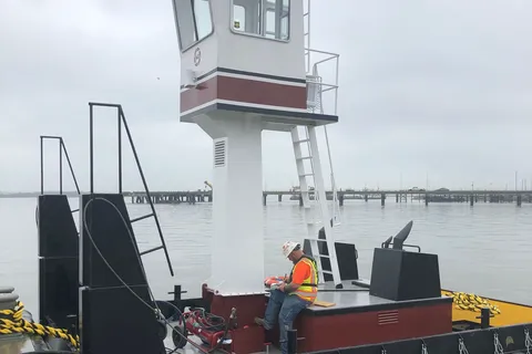
Rental / Leasing
Truckable Tug Chartering
Charter of 600 HP twin-screw truckable push boats with a hinged pilothouse for road transport to rivers, lakes and remote reservoirs.
Engineering & Design
Vessel Handling Trolley System Design
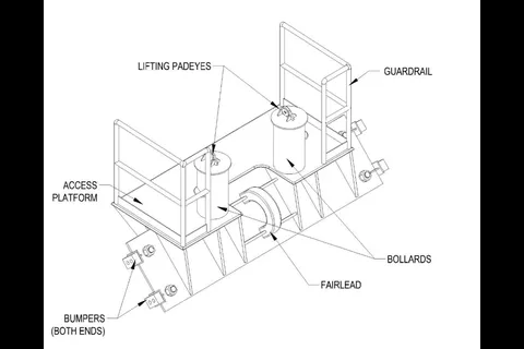
Design of vessel handling trolley systems for floating and graving drydocks, including standard non-mechanical trolleys and hauling and centering trolleys with winches.
Other service
National Marine Sanctuaries and Maritime Heritage
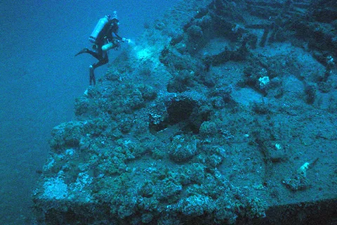
NOAA's Office of National Marine Sanctuaries manages 13 sanctuaries and two marine national monuments and locates, protects and interprets shipwrecks and maritime heritage.