MAPPEM Geophysics System / Package
MAPPEM-3D
Towed electromagnetic system that detects and locates ferrous and non-ferrous buried objects, including aluminum LMB mines, over a ~5 m swath.
Description
MAPPEM-3D is a towed electromagnetic system for detecting and locating buried objects, towed near the seabed at about 3-4 knots. A sensor array feeds the BODIES-RT real-time processing algorithm, which detects anomalies automatically on board. It finds both ferrous and non-ferrous objects, including aluminum LMB mines, and works in noisy, magnetically disturbed areas.
Key features
- 3 m wide system covering a swath of about 5 m, depending on object and depth objectives
- Current injection of about 60 A every 0.3 seconds
- Main tow fish 1.5 m long, 20 cm diameter
- Accuracy of a few µV
- Real-time automatic anomaly detection with BODIES-RT
Applications
Detection of UXO, cables, pipelines and archaeology. In a survey offshore the Netherlands, the system covered more than 110 km of lines over 300,000 m² in 3 days.
Specifications
| Width | 3 m |
|---|---|
| Swath | ~5 m (depending on object and depth objectives) |
| Current injection | every 0.3 seconds |
| Current | about 60 A |
| Main tow fish | 1.5 m long, 20 cm diameter |
| Tow speed | about 3-4 knots |
| Accuracy | a few µV |
More from MAPPEM Geophysics
Featured products
All products →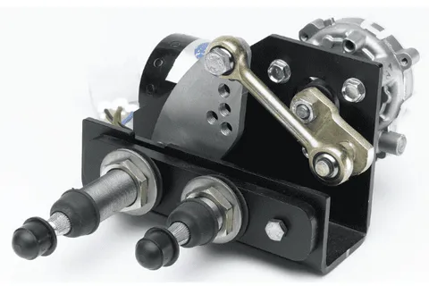
Equipment
Hepworth 20Nm Pantograph Wiper
Compact 20Nm 12/24 V DC pantograph or pendulum marine wiper with arms and blades up to 610 mm.
System / Package
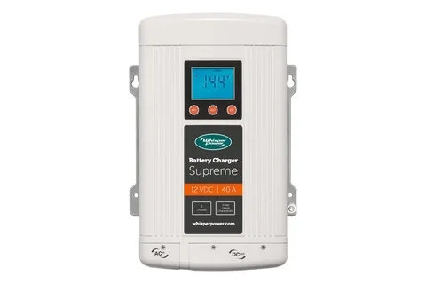
Supreme 12 VDC - 40 A
Automatic 12 V, 40 A battery charger with three independent outputs, programmable for AGM, GEL, wet and lithium, universal 90–265 VAC input; CE and ABYC compliant.
Equipment
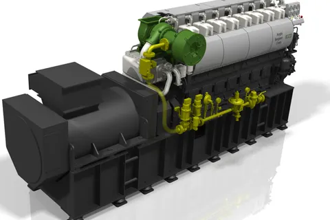
8DZ DF genset
ABC 8DZ dual-fuel genset: medium-speed 8-cylinder inline engine running on natural gas (CNG or LNG) with diesel pilot ignition, or on diesel at any time; low-pressure gas supply up to about 500 mbar.