MAPPEM Geophysics Inspection, Survey & Testing
Electromagnetic Field Measurement & R&D
Measurement of ambient marine EM fields for environmental impact, cathodic protection and defense, plus R&D in marine electromagnetism.
Description
MAPPEM Geophysics measures marine electromagnetic fields with its PASSEM towed system and STATEM seafloor stations, and runs R&D projects in instrumentation and numerical modelling.
Key features
- Zero-state and follow-up surveys of power cables and MRE structures
- Cathodic protection monitoring
- Defense applications and marine magnetotelluric studies
- R&D projects including CITEPH (with ENTREPOSE, SAIPEM and TECHNIP), CMI deep-sea exploration, DGA electromagnetic signature projects, GRAVIMOB and SPECIES
Applications
Environmental impact assessment of offshore power infrastructure, corrosion protection monitoring, defense and marine research.
More from MAPPEM Geophysics
Featured services
All services →Rental / Leasing
Flat Deck Barge Charter
Charter of flat deck cargo barges from 60' x 26' x 5' to 282' x 54' x 12'6", with up to 4963 short tons of cargo capacity at 1' freeboard.
Inspection, Survey & Testing
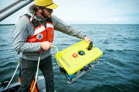
Benthic Habitat and Seafloor Mapping (Great Lakes Lakebed 2030)
Multi-office NOAA project collecting airborne lidar and multibeam sonar data to map Great Lakes nearshore benthic habitat (0-80 m) in support of Lakebed 2030.
Engineering & Design
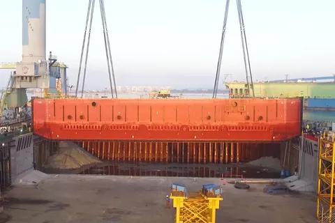
Graving Dock Caisson Gate Design
Design of replacement caisson gates and engineering support for graving (basin) drydocks, including naval shipyard gate replacements and basin dock recertification.