PRIMAR Remote / Digital Service
PRIMAR Web Chart Service (WMS)
Web Map Service delivering chart images from updated ENCs to any WMS-capable browser or GIS application, for shore-based viewing and planning, not navigation.
Description
The PRIMAR Web Chart Service delivers chart images derived from the content of updated ENCs over the internet. The service generates an image of the geographic information and sends it directly to the user's mapping application, so the ENC content seen on shore matches what the captain sees on the ship's navigation equipment. It is not for navigation.
Key features
- Works with any web browser or application supporting the WMS standard; no ECDIS or ECS required
- Click a chart feature to display its S-57 attribute values
- Customisable presentation styles, colours, symbols and transparency for combining with other geographic data
- Option 1 (ENC licence based): single end-user licence with unlimited display screens on one vessel, or up to five hardware systems for shore-based installations
- Option 2 (Unlimited WMS licence): organisation-wide access via a distributor portal, 12-month subscription
- Option 3 (Limited WMS licence): 1-10 workstations within one organisation, 12-month subscription
Applications
Fleet monitoring, voyage planning support and GIS work by on-shore and offshore staff.
Specifications
| Protocol | WMS (Web Map Service) |
|---|---|
| Option 1 shore-based limit | up to 5 hardware systems per licence |
| Option 2 subscription | 12 months |
| Option 3 workstations | 1-10 within a single organisation, 12-month subscription |
More from PRIMAR
Featured services
All services →
Consulting
Technical Support
Support across the selective plating process, from process and application development to troubleshooting and testing procedures.
Other service
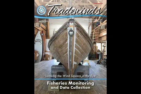
North Carolina Fisheries Association
Tradewinds
North Carolina Fisheries Association publication with columns from the chairman, executive director and director of government relations.

Rental / Leasing
ABS Ocean Barge Charter
ABS-classed A-1, Maltese Cross oceangoing deck barges, US-flagged and Jones Act compliant, from 140' x 40' x 9' up to the 400' x 99'9" x 20' MARMAC 400.