CR Environmental Inspection, Survey & Testing
Geophysical Surveys
Multiparameter marine and freshwater geophysical surveys combining bathymetry, sub-bottom sonar, side scan sonar, magnetometry and ADCP.
Description
CR has conducted over 300 marine and freshwater multiparameter geophysical surveys supporting engineering, archaeological, environmental remediation and marine construction projects. Surveys typically collect high-resolution bathymetry together with sub-bottom sonar, magnetics and side scan data.
Key features
- In-house pool of sub-bottom profilers, side scan sonars, magnetometers, ADCPs and DGPS/RTK units
- ESRI GIS and CAD compatible data products
- Processing of data collected by others
Applications
Experience includes tidal power FERC licensing surveys, offshore wind site characterization at Block Island, cable and pipeline route surveys, and benthic habitat mapping of >2,000 km² of seabed in Trinidad and Tobago.
More from CR Environmental
Featured services
All services →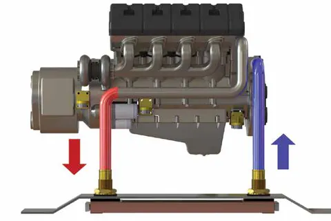
Engineering & Design
Keel Cooler & Boxcooler Sizing and Engineering
Free application engineering from Fernstrum: cooler sizing, configuration, placement and installation advice for keel coolers and boxcoolers based on your engine, vessel and operating conditions — with data on file for all major engine makers.
Other service
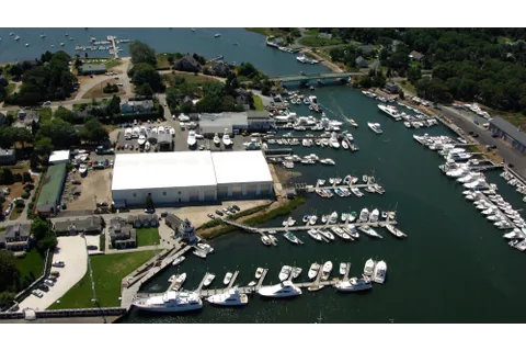
Dockage and Moorings
Seasonal and transient dockage and moorings at the Crosby Yacht Yard marina in Osterville, Cape Cod, with a fuel dock on site.
Other service
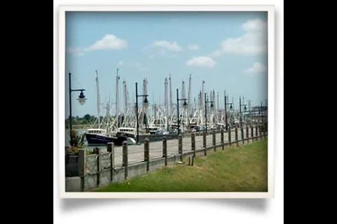
Resources for Mariners
Online faith resources for mariners, fishermen, workboat and offshore workers and cruise staff.