CR Environmental Inspection, Survey & Testing
Eelgrass & Aquatic Vegetation Mapping
Saltwater and freshwater aquatic vegetation mapping with single-beam, multibeam and side scan sonar, ground-truthed with towed underwater video.
Description
CR Environmental maps saltwater and freshwater aquatic vegetation using several remote sensing methods, selected by depth, required resolution and budget.
Key features
- Single-beam echograms to detect vegetation and estimate stem heights
- Multibeam processing for high-resolution GIS layers of bed extent
- High-frequency side scan sonar for georeferenced imagery
- Ground-truthing with towed underwater video and RTK GPS logged in HYPACK, often on the same day
Applications
Projects range from utility crossing and wind turbine cable route surveys to single-day dock construction surveys.
More from CR Environmental
Featured services
All services →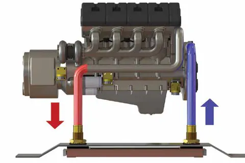
Engineering & Design
Keel Cooler & Boxcooler Sizing and Engineering
Free application engineering from Fernstrum: cooler sizing, configuration, placement and installation advice for keel coolers and boxcoolers based on your engine, vessel and operating conditions — with data on file for all major engine makers.
Rental / Leasing
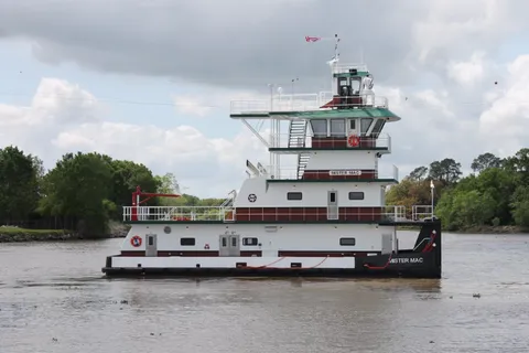
Inland Push Boat Chartering
Charter of inland push boats from 600 HP to 2200 HP, including the 2200 HP M/V MISTER MAC with twin Mitsubishi S12R Tier III engines.
Other service
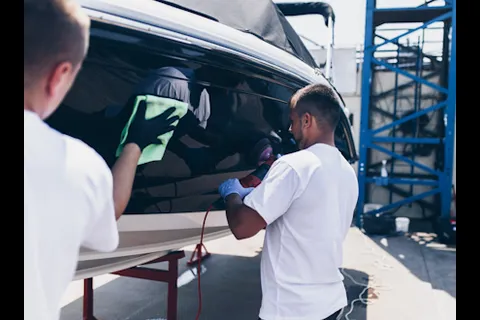
Boat Detailing
Professional boat cleaning, waxing and polishing of exterior and interior surfaces, including upholstery and carpet maintenance.