QPS Software
Qinsy
Survey planning, multi-sensor data acquisition and real-time hydrographic processing, from single-beam surveys to complex offshore construction.
Description
Qinsy, first developed by QPS in 1996 as the Quality Integrated Navigation System, is a survey planning, data acquisition and real-time processing package built for continuous 24/7 operation.
Key features
- Simultaneous acquisition from singlebeam, multibeam, laser, side scan sonar, magnetometer, seismic and sub-bottom profiling sensors
- Real-time 3D positioning from GPS, INS, tide, USBL and draft inputs (Kalman filter capable)
- Real-time point clouds, grids and side scan mosaics for QA/QC and at-the-dock product delivery
- Multi-object tracking for dredging and marine construction
- Autonomous vessel support with mission planning and remote control
- Runs on Windows 10 (version 1607 or newer) and Windows 11
Applications
Hydrographic surveys, dredging, marine construction, pipelaying, rockdumping and rig moves.
Specifications
| Supported platforms | Windows 11; Windows 10 (version 1607 or newer) |
|---|
More from QPS
Featured products
All products →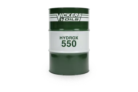
Consumable
HYDROX 550
Emulsifiable mineral sterntube oil (ISO 68) for regular running and some stabilisers; Class tested, verified by Lloyd's Register, approved by major seal makers.

Equipment
GALA Inflatables & Aquahelm Console
GALA aluminum RIBs and the Aquahelm lightweight console kit that converts 10'–13' GALA dinghies to remote steering.
Component
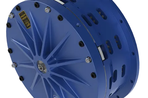
Low Inertia High Torque Clutch
Pneumatic low inertia high torque (LIHT) clutch with pancake-style airtube for the highest torque-to-size ratio in the WPT range; suited to marine winches, steel shears and metal forming.