QPS Software
Qarto
Rapid, automated ENC production from high-resolution survey bathymetry for ports and pilot organisations.
Description
Qarto, released by QPS in 2005, generates Electronic Navigational Charts in batch from ENC base cells and daily verified survey results, enabling survey-to-chart turnaround of 1–3 days in major ports such as the Port of Rotterdam and the Westerschelde.
Key features
- High-density ENCs with 10 cm contour intervals
- Qomposer for S-57 editing
- Meets inland ECDIS standards and S-52 presentation
- Imports CAD, imagery and S-57 sources
- Integrates with ESRI ArcGIS ENC production suites
Applications
Chart production for ports, waterway authorities and pilot organisations.
Specifications
| Supported platforms | Windows 7, 8, 8.1, 10 (64-bit) |
|---|---|
| Processor | Intel Core i5 or equivalent |
| Memory | min. 4 GB |
| Hard drive | 1 TB recommended |
| File compatibility | S-57, CAD, TIFF |
More from QPS
Featured products
All products →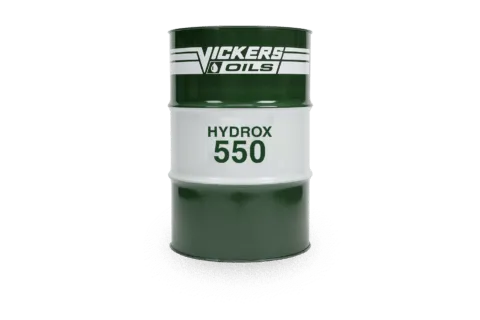
Consumable
HYDROX 550
Emulsifiable mineral sterntube oil (ISO 68) for regular running and some stabilisers; Class tested, verified by Lloyd's Register, approved by major seal makers.
Equipment
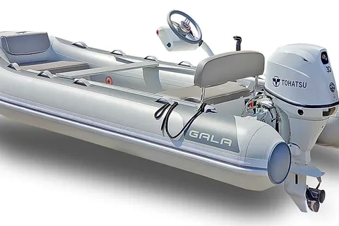
GALA Inflatables & Aquahelm Console
GALA aluminum RIBs and the Aquahelm lightweight console kit that converts 10'–13' GALA dinghies to remote steering.
Component
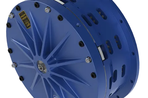
Low Inertia High Torque Clutch
Pneumatic low inertia high torque (LIHT) clutch with pancake-style airtube for the highest torque-to-size ratio in the WPT range; suited to marine winches, steel shears and metal forming.