Woods Hole Group Remote / Digital Service
RouteWatch
Current and weather data service supporting ocean transportation and transits by optimizing routes for safety and efficiency.
Description
RouteWatch® supports ocean transportation and ocean transits by providing current and weather data to help optimize routes for safety and efficiency.
Key features
- Current and weather data for route planning
- Forecasts refined with ocean drifters tracked by satellite, vessel-based field surveys and data-assimilating numerical models
- Information served 24/7 by meteorologists and oceanographers through an interactive metocean mapping interface
Applications
Ocean transits, tows and vessel voyages where currents and weather affect safety and efficiency.
More from Woods Hole Group
- NEMO Vessel Monitoring System
- Themis Fleet Tracking
- DeepCLiDAR Floating LiDAR Buoy
- Metocean Measurement & Consultancy Services
- Argos Satellite Telemetry
- Environment & Climate Consulting
- THEMIS Fisheries Monitoring Center
- Fisheries E-Logbooks
- Maritime Awareness System (MAS)
- LRIT & SSAS Solutions
- Oil Spill Monitoring
- SARWind
Featured services
All services →
Other service
Barge Towing Services
Inland and offshore barge towing and project cargo transport using owned push boats of 600 to 2200 HP plus chartered inland and ocean tugs.
Inspection, Survey & Testing
General Dynamics Mission Systems
Open Water Acoustic Testing Facility
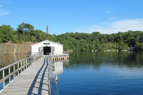
Progeny Systems open water acoustic test facility in Gloucester, Massachusetts, performing flow and high-frequency acoustic measurements of transducers.
Rental / Leasing
Vessel Services
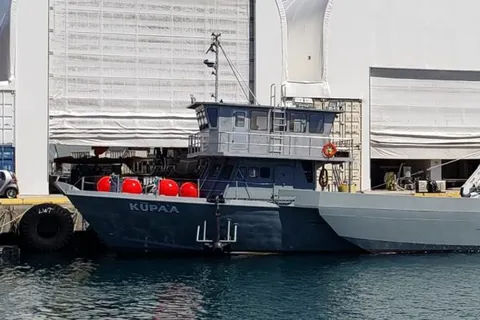
Fleet of workboats from 17 to 84 ft supporting salvage, surveys, construction and diving, also available for charter.