TDI-Brooks Inspection, Survey & Testing
Marine Geophysical & Hydrographic Surveys
Hydrographic and marine geophysical site surveys with hull-mounted and towed sensors, including 2DHR multi-channel seismic.
Description
TDI-Brooks provides hull-mounted and towed sensor acquisition systems for hydrographic and marine geophysical surveys worldwide, with a team of hydrographers, geophysicists, geologists, oceanographers, mariners, cartographers and GIS/CADD specialists. Along with its pre-mobilized vessels, it offers portable tool kits that can be shipped to any vessel of opportunity.
Areas of expertise
- 2DHR seismic multi-channel surveys
- Cable and pipeline route surveys
- Marine archaeological and hazard surveys
- Burial assessments
- Hydrographic mapping
- UXO surveys
- Tow route clearances
- BOEM surveys
- Platform and pipeline damage assessments
- Academic research
Basic survey package
- Side scan sonar
- Conducting cable winch and slip ring
- Marine magnetometer
- Sub-bottom profiler
- USBL
- DGPS and navigation
- Single-beam and multibeam echo sounders
- CTD profiler
- MRU and 2D seismic system
More from TDI-Brooks
Featured services
All services →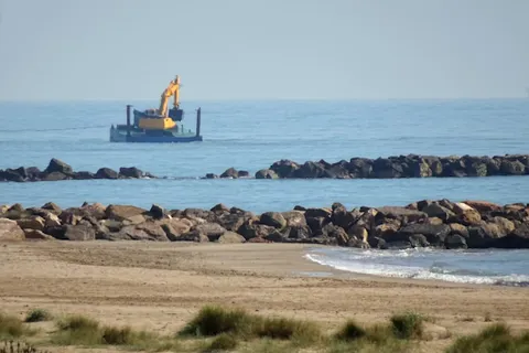
Other service
Barge Towing Services
Inland and offshore barge towing and project cargo transport using owned push boats of 600 to 2200 HP plus chartered inland and ocean tugs.
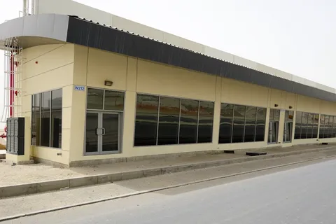
Rental / Leasing
Shops
Small retail units of 64.48 sq.m (694 sq.ft) for lease within the industrial district, primarily for maritime businesses and approved consumer-facing retail.
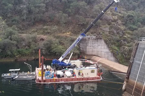
Engineering & Design
Engineering & Constructability Support
Underwater and marine engineering support with an Early Contractor Involvement approach to integrate construction means, methods and schedule into project design.