Intermoor Inspection, Survey & Testing
Geospatial Surveys
Dimensional control, topographical and GPS control surveys, high-definition laser scanning, vessel calibration and subsea infrastructure monitoring.
Description
Acteon's geospatial surveys capture, analyse and visualise spatial data for offshore and onshore operations, with results delivered through the iSite digital asset management platform. Acteon states it has delivered over 500 geospatial surveys in the last 10 years.
Key features
- Dimensional control surveys with millimetre-level accuracy for prefabricated offshore structures
- High-definition laser scanning to create 3D models
- Topographical and GPS control surveys
- Vessel calibration
- Long-term subsea infrastructure monitoring
Applications
- Fabrication and installation of offshore structures
- Survey sensor calibration on vessels
More from Intermoor
- Permanent Moorings
- Bruce® Drag Embedment Anchors
- Emergency Towing System Design & Installation
- UTEC Geophysical & Geotechnical Surveys
- Temporary Moorings & Rig Moves
- Mooring Consultancy
- Positioning & Construction Support
- Mooring Integrity Management
- Offshore Inspection
- Monitoring & Digital Solutions
- Intermoor Suction Embedded Plate Anchor (SEPLA™)
- Asset Life Extension
Featured services
All services →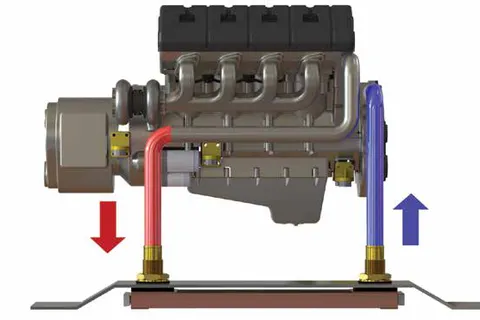
Engineering & Design
Keel Cooler & Boxcooler Sizing and Engineering
Free application engineering from Fernstrum: cooler sizing, configuration, placement and installation advice for keel coolers and boxcoolers based on your engine, vessel and operating conditions — with data on file for all major engine makers.
Engineering & Design
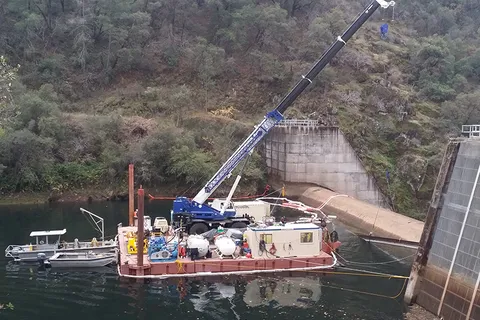
Engineering & Constructability Support
Underwater and marine engineering support with an Early Contractor Involvement approach to integrate construction means, methods and schedule into project design.

Rental / Leasing
ABS Ocean Barge Charter
ABS-classed A-1, Maltese Cross oceangoing deck barges, US-flagged and Jones Act compliant, from 140' x 40' x 9' up to the 400' x 99'9" x 20' MARMAC 400.