Rose Point Navigation Systems Software
Rose Point ECS
Commercial electronic charting and navigation software for professional mariners and fleets, with an optional +Inland add-on for US inland waterways.
Description
Rose Point ECS is commercial-grade electronic charting and navigation software for professional mariners and commercial fleet operators. Rose Point states it is the number one selling navigation software for inland vessels in the United States.
Key features
- Planning: unlimited routes and waypoints, boundary areas with optional speed limits, ETA calculator, route obstacle checking, and voyage plan documents that can be archived, printed and shared
- Underway: customizable instrument panels, passing point predictors for confined waterways, rate-of-turn course predictor, boat and tow shown to scale, Voyage Recorder playback and AIS closest point of approach alarms; radar targets, autopilot control and DSC position reports are supported
- +Inland add-on: automatic "River Route" generation including bridges, locks and river stage stations for Subchapter M navigation assessments, mile markers instead of latitude/longitude, graphical tow configuration editor, river stage observations and forecasts, and a waterway ETA calculator
- Charts: NOAA ENC, USACE IENC (2.0 and 2.1), Rose Point PRIMAR ENC, Admiralty AVCS, S-57/S-63 ENC, Maptech BSB and others, with overlays such as USACE Master Docks Plus, US Coast Pilot and Gulf of Mexico lease block boundaries
Specifications
| Chart formats | NOAA ENC, USACE IENC (2.0 and 2.1), Rose Point Charts for Canada, Rose Point PRIMAR ENC, AVCS, CHS Digital Charts, S-57 ENC (including S-63 encrypted), Maptech BSB, Maptech RML and PCX, NV. Charts, BSB Versions 1-5, SoftChart and PhotoChart |
|---|
More from Rose Point Navigation Systems
Featured products
All products →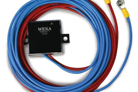
System / Package
WEKA Guard & WEKA Protector Type T – Boxcooler Protection System
Protection units exclusive to WEKA copper-nickel boxcoolers: the Guard shields the cooler from welding currents during construction; the Protector Type T guards against ICCP and stray currents in service and keeps the natural anti-fouling layer active — no ICAF needed.
Equipment
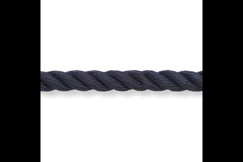
Premium 3-Strand Nylon
High-tenacity 3-strand marine nylon with Marine Tech coating for dock, anchor and mooring lines; 5 mm (3/16 in) to 24 mm (1 in); white, black and navy.
Equipment
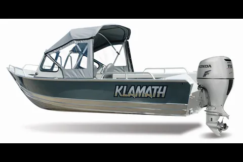
Windshield Boats
Welded aluminum windshield boats (16 EXW, 18 OPW, 19 GTX) on Klamath's open-boat hulls, with all-welded windshields, grab rails and an optional full canvas top.