Rose Point Navigation Systems Software
Coastal Explorer
Electronic charting and navigation software for pleasure boaters on Windows PCs, with route planning, tides, weather, AIS, radar targets and instrument panels.
Description
Coastal Explorer is navigation software designed for the pleasure boater. It supports a wide range of chart formats with automatic updates and seamless chart quilting, and a complete set of US charts is included.
Key features
- Route planning with obstacle detection and unlimited undo
- Document-based route and mark management
- Gazetteer of millions of places
- Integrated ActiveCaptain guidebook and US Coast Pilot data
- Tide and current predictions for all official US stations
- Text and graphical weather and GRIB display
- Split-screen charts, voice alerts, virtual instrument panels and an online Ship's Log
- Interfaces with GPS, heading sensors, depth sounders, autopilots, wind and weather instruments, radar and AIS via NMEA 0183, NMEA 0183-HS and NMEA 2000 (via Nemo Gateway or Actisense NGT-1), plus video cameras and NAVTEX receivers
Specifications
| Operating system | Microsoft Windows 10 or Windows 11 (32-bit or 64-bit) |
|---|---|
| Disk space | 500 MB or more |
| Display | Super VGA (800×600) or higher; 1024×768 or higher recommended |
| Interfaces | NMEA 0183, NMEA 0183-HS, NMEA 2000, Garmin Binary Interface (serial and USB), raw NMEA 0183 over TCP or UDP |
More from Rose Point Navigation Systems
Featured products
All products →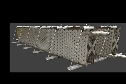
System / Package
OMEGA Reinforced Laser Plate Banks for Cargo Hold Heating
Structurally reinforced stainless laser-plate heat-exchanger banks that replace failing pipe coils in barge and tanker cargo holds — built to survive sloshing loads in part-filled tanks while heating crude oil, caustic soda and other cargoes.

Equipment
YANMAR Main Engine (Medium Speed)
YANMAR medium-speed diesel propulsion engines for commercial ships, workboats and large fishing vessels, supplied and serviced in Turkey by Sakura Marine.
System / Package
General Dynamics Mission Systems
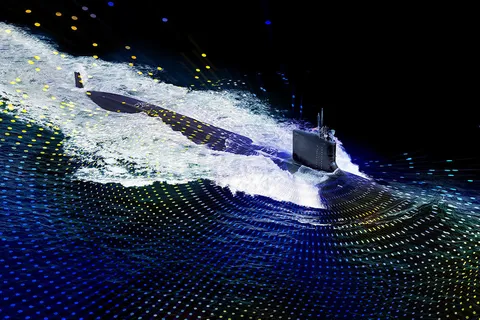
Submarine Electronic Warfare Systems
Submarine electronic warfare capabilities from chassis level through full systems: RF digitization, warning systems, integration, training and logistics support.