NORBIT Software
Data Collection Tool (DCT)
Browser-based bathymetric survey data collection tool showing real-time coverage and data quality on plotters, tablets, phones or PCs.
Description
NORBIT's Data Collection Tool (DCT) simplifies standard bathymetric survey operations. It displays the bathymetry grid in a web browser, giving a real-time view of coverage and data quality during collection. It runs on a navigation plotter, tablet, smartphone or PC and suits small boats, single-operator surveys and USVs with low-bandwidth radio links.
Key features
- Planning tools that generate parallel survey lines at a set spacing
- Real-time displays of depth, sounding density, backscatter and standard deviation, concurrently across clients
- Data recorded in NORBIT *.wbm and *.s7k formats relative to the ellipsoid
- Data sharing built on PostGIS and GeoServer, with WMS and WFS support for GIS software such as QGIS
Applications
- Small-boat and single-operator hydrographic surveys
- USV surveys over low-bandwidth links
Specifications
| Data formats | *.wbm, *.s7k |
|---|---|
| GIS services | WMS, WFS |
More from NORBIT
- NORBIT WINGHEAD WINGHEAD X Midwater
- NORBIT WINGHEAD WINGHEAD X
- NORBIT WINGHEAD WINGHEAD B59S
- NORBIT WINGHEAD WINGHEAD B43
- NORBIT WINGHEAD WINGHEAD B44 Deep Sea and Full Ocean
- NORBIT WINGHEAD WINGHEAD F11 and WINGHEAD F11 Deep Sea
- NORBIT WBMS WBMS X
- NORBIT WBMS WBMS Basic (depth rated)
- NORBIT WBMS WBMS FLS - Compact and Wide
- NORBIT Sub-Bottom Profiler (iSBP)
- NORBIT iLiDAR laser
- NORBIT Carbon Fibre Mounting Pole (PORTUS)
Featured products
All products →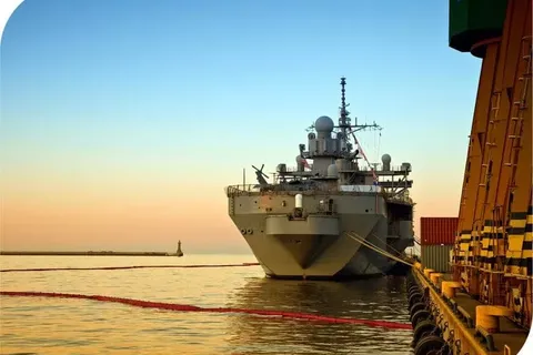
System / Package
Ship Protection Systems (SPS)
Superconductor-based degaussing systems that mask a naval ship's magnetic signature against magnetic sensors and mines, at much lower weight than copper-based systems.
Equipment
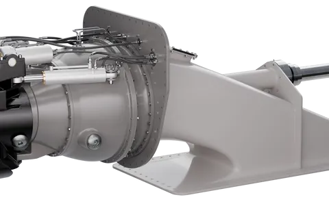
Compact Steering Unit (CSU) Waterjet
MJP Compact Steering Unit (CSU): mixed-flow duplex stainless steel waterjet series from 2,500 to 24,000 kW for vessels of 26–200 m, with classic reversing bucket for narrow installations and composite, steel or aluminium intakes.
Equipment
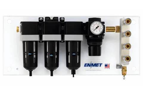
100 CFM Breathing Air Filtration Panels
Wall-mount three-stage breathing air filtration panels, 100 CFM with four outlets, plain or with integrated CO-GUARD, ProAir/MedAir 2200 or Matrix Air monitors.