QYSEA Software
QY-BT Intelligent Bathymetric Mapping
AI depth-mapping system for FIFISH ROVs combining Q-DVL sonar and auto path planning to produce 2D/3D terrain maps and one-click capacity calculations.
Description
QY-BT is QYSEA's AI depth-mapping system for underwater robots. It combines the proprietary Q-DVL sonar module, custom depth algorithms and automatic path movement to survey the bottom without manual piloting.
Key features
- Auto-cruise scanning route planning
- Logging of terrain and depth data
- Customizable 2D and 3D terrain maps with depth colors and contour lines
- One-click calculation of water volume, net capacity and area
- Automated reports
Applications
Bridge inspections, hydropower and water resource inspections, jacket structure, electrical and pipeline inspections, and ecological and environmental surveys.
More from QYSEA
Featured products
All products →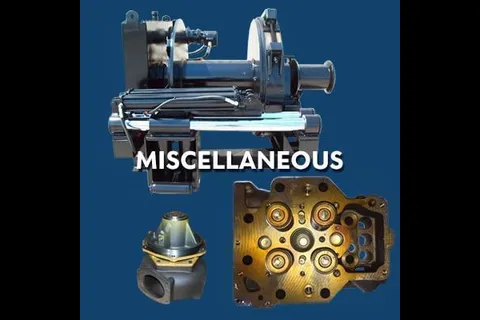
Component
Miscellaneous Equipment & Parts
Assorted marine and industrial equipment and components, including compressors, winches, heat exchangers, intercoolers, crankshafts, main bearings and governors.
Equipment
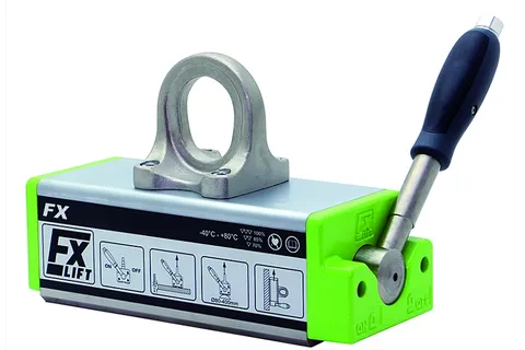
Flaig FX Lift Magnets
Flaig Magnetsysteme lift magnets, offered by IMI under an exclusive North American partnership, for flat, angle, thin-sheet and cylindrical parts.
Equipment
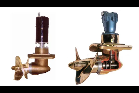
Bow and Stern Thrusters
Full line of hydraulic (5 to 160 HP, 200 to 4,000 lb thrust) and electric (5 to 14 HP, 125 to 550 lb thrust) bow and stern thrusters in aluminum or bronze finish.