OceanGrafix Other product
Satellite Charts
Colour-matched satellite image charts of popular boating destinations printed on photo paper; not for navigation carriage.
Description
OceanGrafix satellite charts are created from satellite images and carefully colour-matched to show the water colour and details of popular boating destinations. They are not intended to meet U.S. or IMO carriage requirements.
Key features
- Created from satellite imagery
- Colour-matched to display water colour and detail
- Printed on high-quality photo paper, ready for hanging or framing
- Available online through OceanGrafix's trusted retailers or from its network of chart retailers
Applications
Decorative and reference displays for boaters, marinas and yacht clubs.
More from OceanGrafix
Featured products
All products →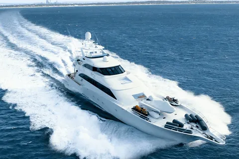
Equipment
Everllence 175D High-Speed Engine
V12, V16 and V20 high-speed marine diesel engine with 175 mm bore, 1,440–4,400 kW at 1,500–2,000 rpm, methanol-ready, for propulsion and gensets on naval, offshore, ferry, tug, yacht and fishing vessels.
Equipment
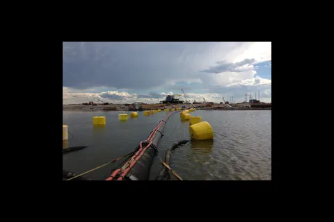
Ocean Guard™ Utility, Support, Universal, Chain-Through & Oceanographic Buoys
Foam-filled steel-cored buoys for marking, hose and rope pickup, anchor pendants, chain-through moorings and oceanographic instruments.
Equipment
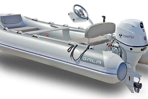
GALA Inflatables & Aquahelm Console
GALA aluminum RIBs and the Aquahelm lightweight console kit that converts 10'–13' GALA dinghies to remote steering.