Desert Star Systems Device / Instrument
SeaTag-GEO
Solar-powered pop-up satellite tag that estimates position from light and magnetic field measurements, with ARGOS transmissions.
Description
SeaTag-GEO is a solar-powered satellite tag that estimates position from light and magnetic measurements, with ARGOS positions when at the surface. Operating modes are pop-up archival with programmed release (max. on-animal time one year) and real-time tracking with daily summaries (unlimited on-animal time). Sensors include a three-axis precision magnetometer (60 nT reporting resolution), the solar panel as light sensor, a temperature sensor (0.002 deg C resolution) and a precision calibrated clock; memory holds 416 daily summaries. An optional internal battery supports data acquisition in darkness for over 1 year. SeaTag satellite tags are designed for long-lasting, high sample size studies of marine animals such as penguins, tuna, whales and deep diving swordfish; Desert Star highlights solar power, reusability and earth magnetic field sensing to fix fish locations beyond the reach of GPS.
Specifications
| Length (to base of antenna) | 178mm (with backup battery), 170mm (without) |
|---|---|
| Tube diameter | 14.6mm |
| Weight in air | 41.7g (with backup battery), 36.7g (without) |
| Operational depth rating | 1200m |
| Typical crush depth | 1800m |
| Operating temperature | -20 deg C to +50 deg C |
More from Desert Star Systems
Featured products
All products →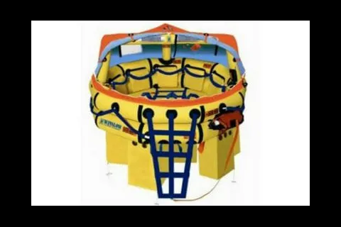
Equipment
Super Light Offshore Plus Liferaft
Super-Light Offshore Plus inflatable liferaft for offshore sailing and power boating, vacuum packed in UltimaWrap with a 3-year service interval.
Equipment
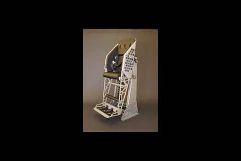
870V53 Advanced Shock-Mitigating Bolster
Stand-up shock-mitigating bolster with a suspension proven in Sea State 4 at 50+ knots aboard the MKV Special Operations Craft.
Consumable
Regal® R&O
Premium rust- and oxidation-inhibited turbine oil for gas, steam and hydroelectric turbines, listed for separators and purifiers on commercial vessels.