ASL Environmental Sciences Remote / Digital Service
Remote sensing services
Satellite-based mapping and analysis of aquatic, ice, terrestrial, geological and defence targets.
Description
ASL's remote sensing services cover intertidal and nearshore habitat mapping, water properties and quality (including oil spills and turbidity), ice mapping and hazardous ice characterization, landcover and reclamation monitoring, hyperspectral mineral mapping, and defence and security site monitoring and object detection. Projects include AI tool development with Defence Research and Development Canada, kelp mapping for Transport Canada and sea ice analysis for a potential Mackenzie Delta ship terminal.
Applications
Coastal and nearshore habitat mapping, water quality and oil spill monitoring, ice hazard mapping, land reclamation monitoring, mineral mapping and defence site surveillance.
More from ASL Environmental Sciences
- ASL Acoustic Zooplankton Fish Profiler (AZFP)
- ASL AZFP-nano and AZFP-pico
- ASL AZFP-ice
- ASL Ice Profiling Sonar (IPS)
- ASL Shallow Water Ice Profiler (SWIP)
- ASL Custom Mooring Frames and Cages
- Ice studies
- Biological and hydroacoustic studies
- Physical oceanography, limnology and acoustics
- Numerical modeling
- Sediment transport studies
- Oceanographic equipment leasing
Featured services
All services →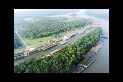
Other service
Fleeting & Dock Space
Barge dock space and fleeting at Channelview, TX and Harvey, LA, with fleet landings across the Gulf, East Coast and Midwest.

Other service
Cannes Yachting Festival
Six-day in-water boat show each September in the Vieux Port and Port Canto, Cannes; the 2024 edition showed more than 700 boats of 5 to 45 metres.
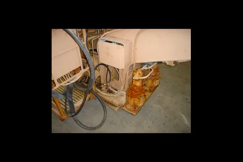
Repair & Overhaul
Field Service, Spare Parts and Refurbishment
Worldwide repair, maintenance, inspection, certification, training, spare parts and complete refurbishment of Appleton Marine cranes and winches.