Teledyne CARIS Software
CARIS EasyView
Free 2D/3D viewer for S-100, S-57 and many GIS and hydrographic data formats.
Description
CARIS EasyView is a free viewer for S-100 (including S-101 and S-102), S-57 and many GIS and hydrographic formats. It can load several layers at once, including vectors, DTMs, rasters, charts, point clouds and variable resolution surfaces.
Key features
- Feature query in 2D and 3D
- Surface draping and fly-through recording
- Vector formats: Shapefile, DXF, GML and MapInfo
- Elevation formats: BAG, CSAR, 32-bit GeoTIFF and USGS DEM
- Image formats: GeoTIFF, PNG, MrSID and JPEG
- Chart formats: S-57, S-100 and BSB
Applications
Reviewing survey and chart data without a full production licence.
More from Teledyne CARIS
- Teledyne CARIS HIPS & SIPS
- Teledyne CARIS CARIS Onboard
- Teledyne CARIS Bathy DataBASE
- Teledyne CARIS BASE Editor
- Teledyne CARIS Engineering Analysis Module
- Teledyne CARIS Sonar Noise Classifier
- Teledyne CARIS HPD (Hydrographic Production Database)
- Teledyne CARIS S-57 Composer
- Teledyne CARIS S-100 Composer
- Teledyne CARIS S-100 Data Management System (SDMS)
- Teledyne SevenCs 7Cs Analyzer
- Teledyne CARIS LOTS Limits and Boundaries
Featured products
All products →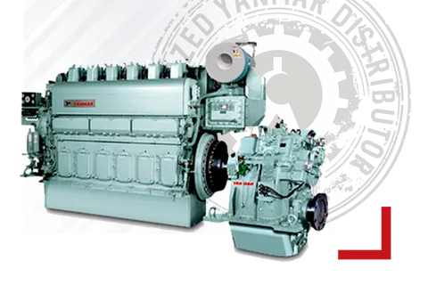
Equipment
YANMAR Main Engine (Medium Speed)
YANMAR medium-speed diesel propulsion engines for commercial ships, workboats and large fishing vessels, supplied and serviced in Turkey by Sakura Marine.
Component
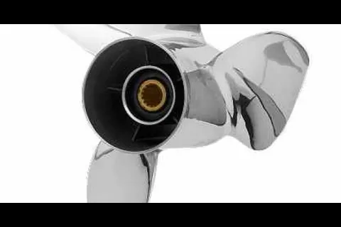
Powertech OFX3 3-Blade Offshore Stainless Propellers
Powertech OFX3 3-blade stainless propellers, 15.25 in diameter, 14–28 in pitch, RH/LH, for 4.75 in gearcase; aggressive cup, high rake and X-cut geometry.
System / Package
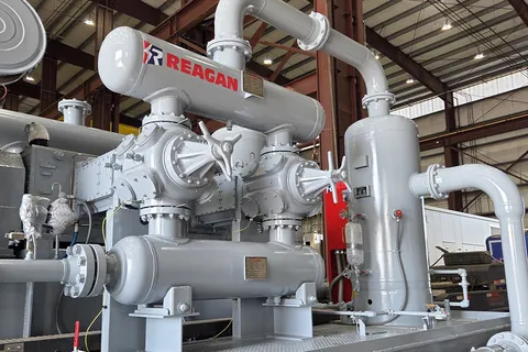
Reciprocating Compressor Packages
Engine or motor driven reciprocating natural gas compressor packages built to customer specifications with Ariel and Siemens compressors.