OceanWise Other product
Raster Charts
Electronic versions of nautical paper charts in GeoTIFF format for use as GIS base maps, including versions with land removed.
Description
OceanWise Raster Charts are electronic versions of nautical paper charts, obtained under licence from the UK and other Hydrographic Offices, for use as base maps or simple nautical chart backgrounds. They open in any image viewer and are supplied as individual charts at discrete scale levels in GIS-compatible GeoTIFF format.
Key features
- Raster Charts eXcluding Land (XL): land removed for pairing with chosen land mapping
- Raster Charts XL Oceans: global ocean dataset with land removed
- Standard Raster Charts: ready for immediate GIS use
- Availability depends on permissions from contributing nations
Applications
GIS base mapping and chart backgrounds for port, offshore and coastal planning.
Specifications
| File format | GeoTIFF |
|---|
More from OceanWise
Featured products
All products →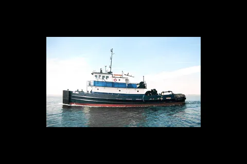
Equipment
Tugboats
Steel tugboats built by Blount, including the 85.3 ft Seabull powered by twin Cat 3512B engines.
System / Package
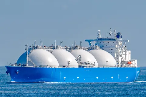
LNG Fuel Gas Supply System (FGSS)
Marine LNG fuel gas supply system for newbuild and retrofit dual-fuel vessels, conditioning and delivering LNG to engines with controlled pressure, temperature and flow; for tankers, container ships, LNG carriers and Ro-Ro.
Equipment
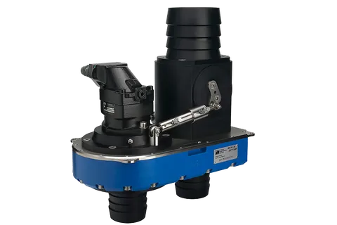
Merlin Dredge Pump
35-60 hp ROV dredge pump for excavation and jetting, up to 8 bar, successor to the Excalibur pump.