DSC Dredge System / Package
DSC Vision
Multibeam sonar bottom visualization system showing cutterhead position and bottom topography in real time for dredge operators.
Description
DSC Vision combines geographical cutterhead position and heading, multibeam sonar imaging and mapping, dredge navigation and instrumentation, and remote connectivity into one operator display showing current dredge location, cutterhead depth and bottom topography. Data is stored as a map of the dredging area or mine site for computation, documentation and planning, and the system integrates with the DSC dredge control system and Dredge RX.
Key features
- Standard: imaging sonar, reliable to 75 ft, typical resolution 1 ft by 1 ft, AC or DC power
- Pro: bathymetric sonar, reliable to 200 ft, typical resolution 0.25 ft by 0.25 ft, AC power
- GPS/GLONASS/Galileo/BeiDou positioning with RTX corrections (RTK optional)
- Cutterhead tracking
- Remote viewing via DredgeRx.com
Specifications
| Max depth (Standard) | 75ft |
|---|---|
| Max depth (Pro) | 200ft |
| Resolution (Standard) | 1ft by 1ft |
| Resolution (Pro) | .25ft by .25ft |
| Corrections | RTX standard (RTK optional) |
More from DSC Dredge
- DSC Shark Class Hull Pump Conventional Dredge
- DSC Barracuda Class Hull Pump Swinging Ladder Dredge
- DSC Marlin Class Submerged Pump Dredge
- DSC Moray Class Submerged Pump Swinging Ladder Dredge
- DSC SHARKUDA Class Wide Format Swinging Ladder Dredge
- DSC Workboats
- DSC Booster Pumps
- Product Support, Professional Services and Training
- DSC Dredge Automation and Dredge RX
Featured products
All products →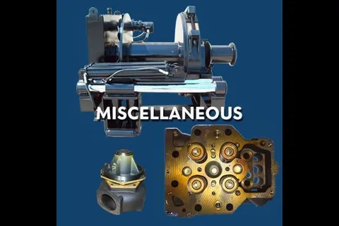
Component
Miscellaneous Equipment & Parts
Assorted marine and industrial equipment and components, including compressors, winches, heat exchangers, intercoolers, crankshafts, main bearings and governors.
Equipment
Flaig FX Lift Magnets
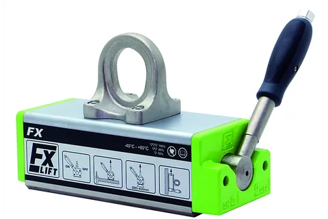
Flaig Magnetsysteme lift magnets, offered by IMI under an exclusive North American partnership, for flat, angle, thin-sheet and cylindrical parts.
Equipment
Bow and Stern Thrusters
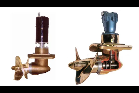
Full line of hydraulic (5 to 160 HP, 200 to 4,000 lb thrust) and electric (5 to 14 HP, 125 to 550 lb thrust) bow and stern thrusters in aluminum or bronze finish.