Cambridge Pixel Software
GPS Assist
Software that estimates vessel position from radar returns and terrain data to detect missing, spoofed or jammed GPS and provide backup navigation output.
Description
GPS Assist works with existing maritime radars on ships and uncrewed surface vessels as a safety backup. It estimates lat/long position by comparing radar data with predicted returns from terrain and coastline information in a database, and compares the result with the GPS-received position to detect missing, spoofed or jammed GPS signals. When such a condition is detected it can raise an alarm and generate its own NMEA-based navigation output, providing continuous navigation during GPS faults. Cambridge Pixel products are designed, developed and made in the UK and include 12 months of engineering support.
Key features
- Position estimated from radar returns and terrain/coastline database
- Detects missing, spoofed or jammed GPS
- Raises alarm on GPS fault
- Generates NMEA-based navigation output
Applications
- Backup navigation for ships
- Uncrewed surface vessels
Specifications
| Output | NMEA |
|---|
More from Cambridge Pixel
- Cambridge Pixel HPx-700 Radar Input & Processing Unit
- Cambridge Pixel HPx-346 Analogue Radar to Network Converter
- Cambridge Pixel HPx-410 PCIe Radar Input Card
- Cambridge Pixel HPx-450 XMC Radar Input Card
- Cambridge Pixel HPx-310 Radar Signal Output Card
- Cambridge Pixel Synchro/resolver & signal splitter cards
- Cambridge Pixel Radar Controller Software
- Cambridge Pixel SPx Server
- Cambridge Pixel SPx Tracker-3D
- Cambridge Pixel SPx Fusion Server
- Cambridge Pixel SPx Track Manager
- Cambridge Pixel SPx Radar Web Server
Featured products
All products →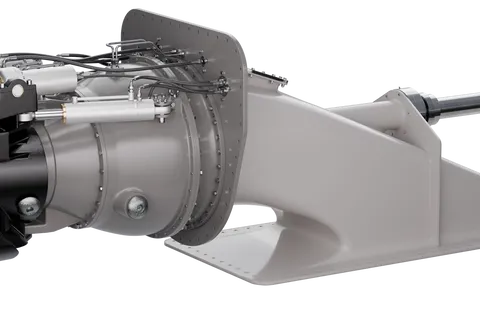
Equipment
Compact Steering Unit (CSU) Waterjet
MJP Compact Steering Unit (CSU): mixed-flow duplex stainless steel waterjet series from 2,500 to 24,000 kW for vessels of 26–200 m, with classic reversing bucket for narrow installations and composite, steel or aluminium intakes.
Equipment
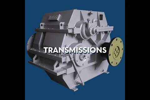
Transmissions
New, used and rebuilt marine transmissions and reduction gears, often in pairs, from Twin Disc, ZF, Reintjes, Haley and others.
System / Package
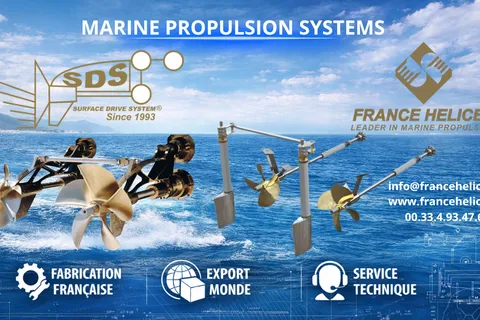
Controllable Pitch Propellers and Renou Dardel CPP Service
Custom Ni-Br-Al controllable pitch propellers for yachts, plus maintenance, inspection, repair, balancing and spare parts for Renou Dardel (RDL) CPP systems.